
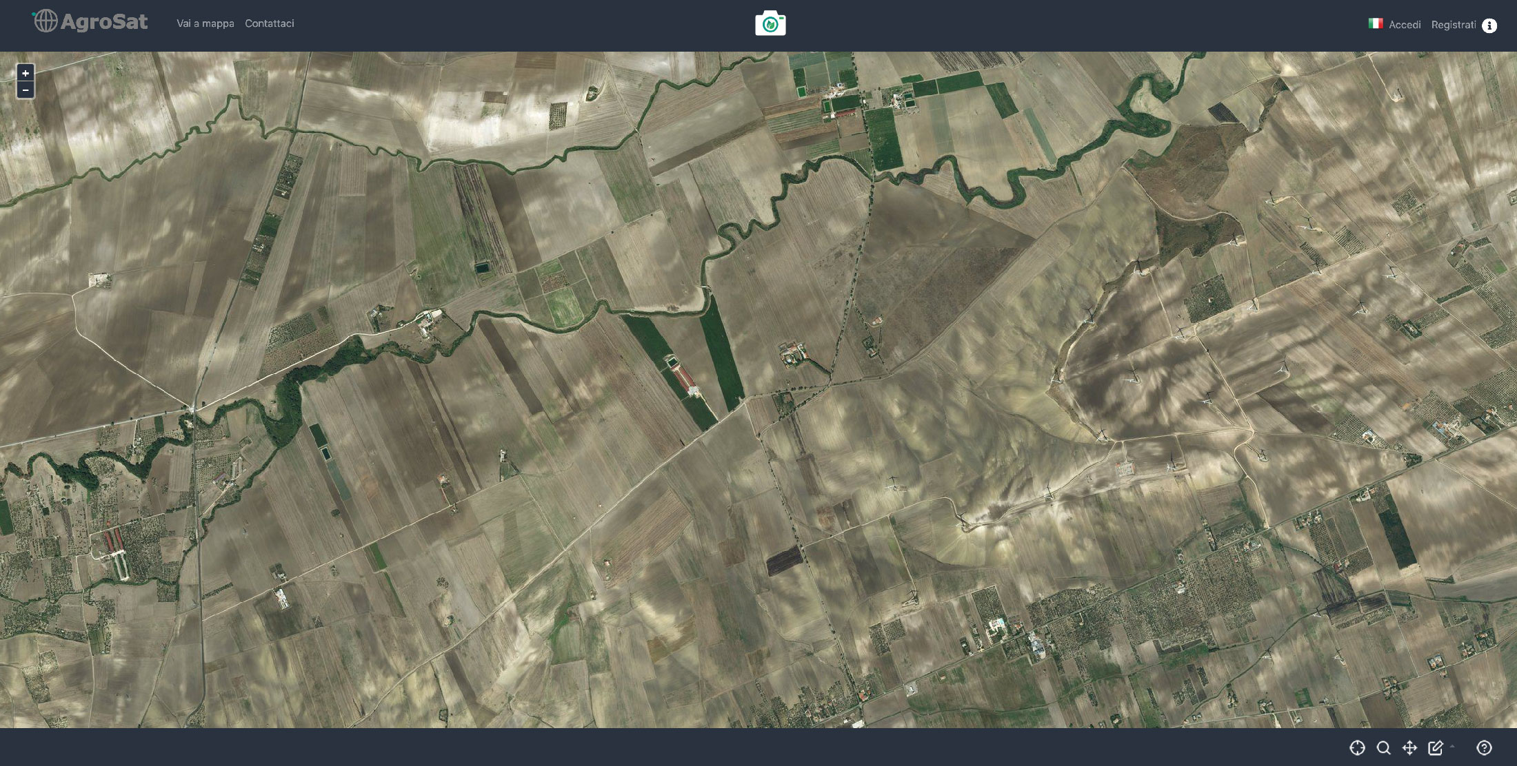
Interactive Map
Zoom control, Pan, Draw Area, and Cadastre
Login, Signup
Access Dashboard

In Italy, the application of precision farming is very heterogeneous and it covers only 1% of the whole agricultural area. Meanwhile the agricultural system is required to maximise the production when at the same time, with challenging climatic conditions, it needs to maintain high quality of standards and to abide more-strict environmental regulations.
Unlike other European countries, in Italy there is a need to support the agri-food chain users with up-to-date information and research products.
This is where AgroSat platform comes in, providing satellite data, testing new analysis approaches for multi-source data integration, supporting the participatory approach to agro-environmental monitoring. It is primarily used to monitor field data through Earth Observation satellites, programming distribution of chemicals and knowing the location and cause of crop-stress to optimize quantities applied. It is a great platform that saves farmers both time and money.
Satellite Images from Sentinel-2 ESA*, MODIS – NASA.
Data from CDS Copernicus.
LSA-SAF (EUMETSAT copyright, 2018-2020) - Reference evapotranspiration
Building up Production Units (UP) to display the status of the crop, the potential yield and the fertilization maps.
Download editable, exportable fertilization maps for GIS environments or systems with variable rate technology (VRT).
Access to dedicated weather forecasts and data from the agro-meteorological station closest to the production unit.
Assessment of the water content of your crop: manage and optimize the use of water based on real needs.
Advanced and integrated analysis tools. Enhance the agri-food chains.
Interactive Map
Zoom control, Pan, Draw Area, and Cadastre
Login, Signup
Access Dashboard
| Cookie | Duration | Description |
|---|---|---|
| CONSENT | 2 years | YouTube sets this cookie via embedded youtube-videos and registers anonymous statistical data. |
| Cookie | Duration | Description |
|---|---|---|
| NID | 6 months | NID cookie, set by Google, is used for advertising purposes; to limit the number of times the user sees an ad, to mute unwanted ads, and to measure the effectiveness of ads. |
| VISITOR_INFO1_LIVE | 5 months 27 days | A cookie set by YouTube to measure bandwidth that determines whether the user gets the new or old player interface. |
| YSC | session | YSC cookie is set by Youtube and is used to track the views of embedded videos on Youtube pages. |
| yt-remote-connected-devices | never | YouTube sets this cookie to store the video preferences of the user using embedded YouTube video. |
| yt-remote-device-id | never | YouTube sets this cookie to store the video preferences of the user using embedded YouTube video. |
| yt.innertube::nextId | never | This cookie, set by YouTube, registers a unique ID to store data on what videos from YouTube the user has seen. |
| yt.innertube::requests | never | This cookie, set by YouTube, registers a unique ID to store data on what videos from YouTube the user has seen. |
| Cookie | Duration | Description |
|---|---|---|
| _pk_id.1.c26e | session | No description |
| _pk_ses.1.c26e | session | No description |