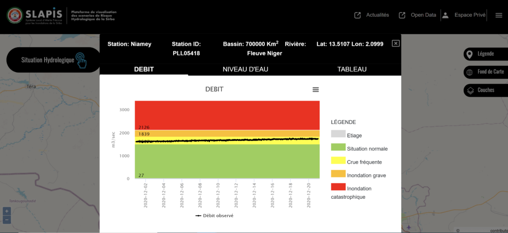
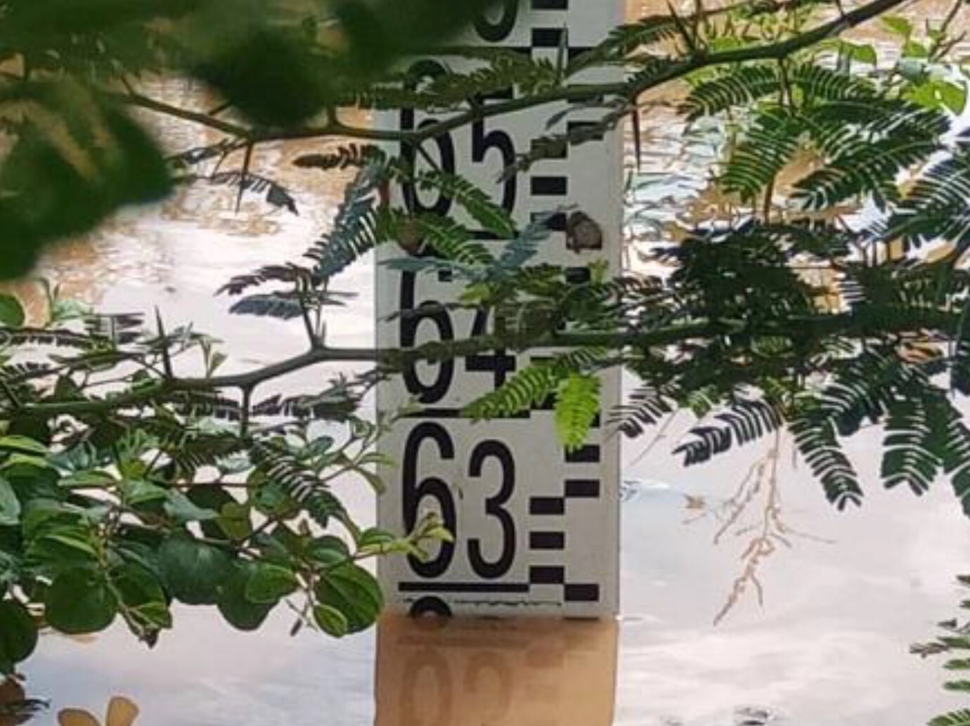
During the hydrological season 2020, the Niger River in Niamey reached its uppermost water levels, causing large floods that affected thousands of people and generated damages for billions of CFA Francs. The hydrological station in Niamey on the Niger River dates of 1929. Gauging measures during the floods of 2020, coupled to other measures done during last 5 years, allowed to update the rating curve of the station. Therefore, discharge measures, calculated from water levels, are actually available in real time on the SLAPIS web platform at https://www.slapis-niger.org thanks to the ANADIA2 project.

For further information:
Mohamed Ibrahim Housseini, DH, Niger
Giovanni Massazza, Politecnico di Torino


