
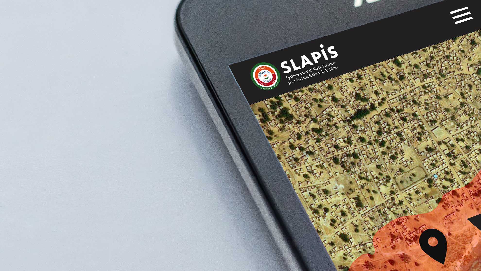
SLAPIS, Local Early Warning System for Floods of the Sirba, is an integrated system that aims to promote decision-making and behavioural changes from reactive to proactive attitudes to adapt to climate change and reduce hydrological risk in the Municipalities of the Sirba.
The philosophy of SLAPIS is to demonstrate that institutions and communities can set up a simple system built on existing skills and tools that allows the proactive use of hydrological and hydraulic information and forecasts to reduce the risk of flooding.
The system integrates local observations with meteorological and hydrological forecasts through a risk information system, an integrated information and communication mechanism, flood risk mapping, local flood risk reduction plans and awareness raising and training.
SLAPIS a été développé dans le cadre du projet ANADIA 2.0 par une équipe pluridisciplinaire coordonnée par le DIST (Dipartimento Interateneo di Scienze, Progetto e Politiche del Territorio del Politecnico e dell’Università di Torino) et composée par la Direction de l’Hydrologie et la Direction de la Météorologie Nationale du Niger et IBE-CNR. Le projet a été cofinancé par l’Agence Italienne pour la Coopération au Développement.