- Users // multiusers
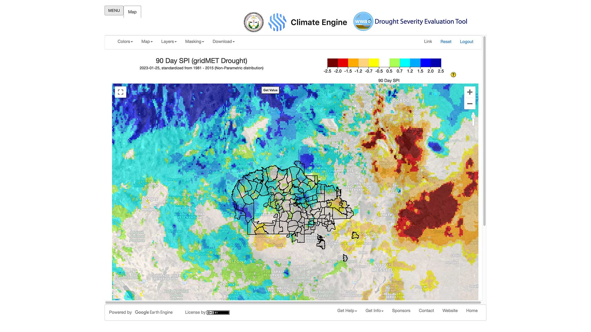
- Phenomena // drought
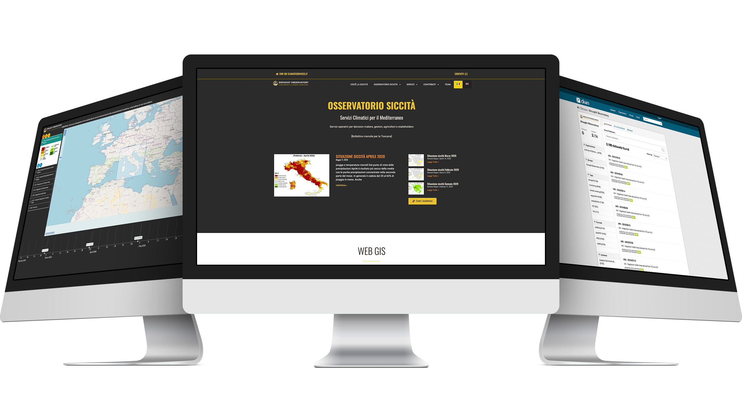
- Data Sources // climatological analysis, satellite observations
- Data Processing // basic climate data, decision support, impacts
- Purposes // multipurpose
- Sectors // multi sector
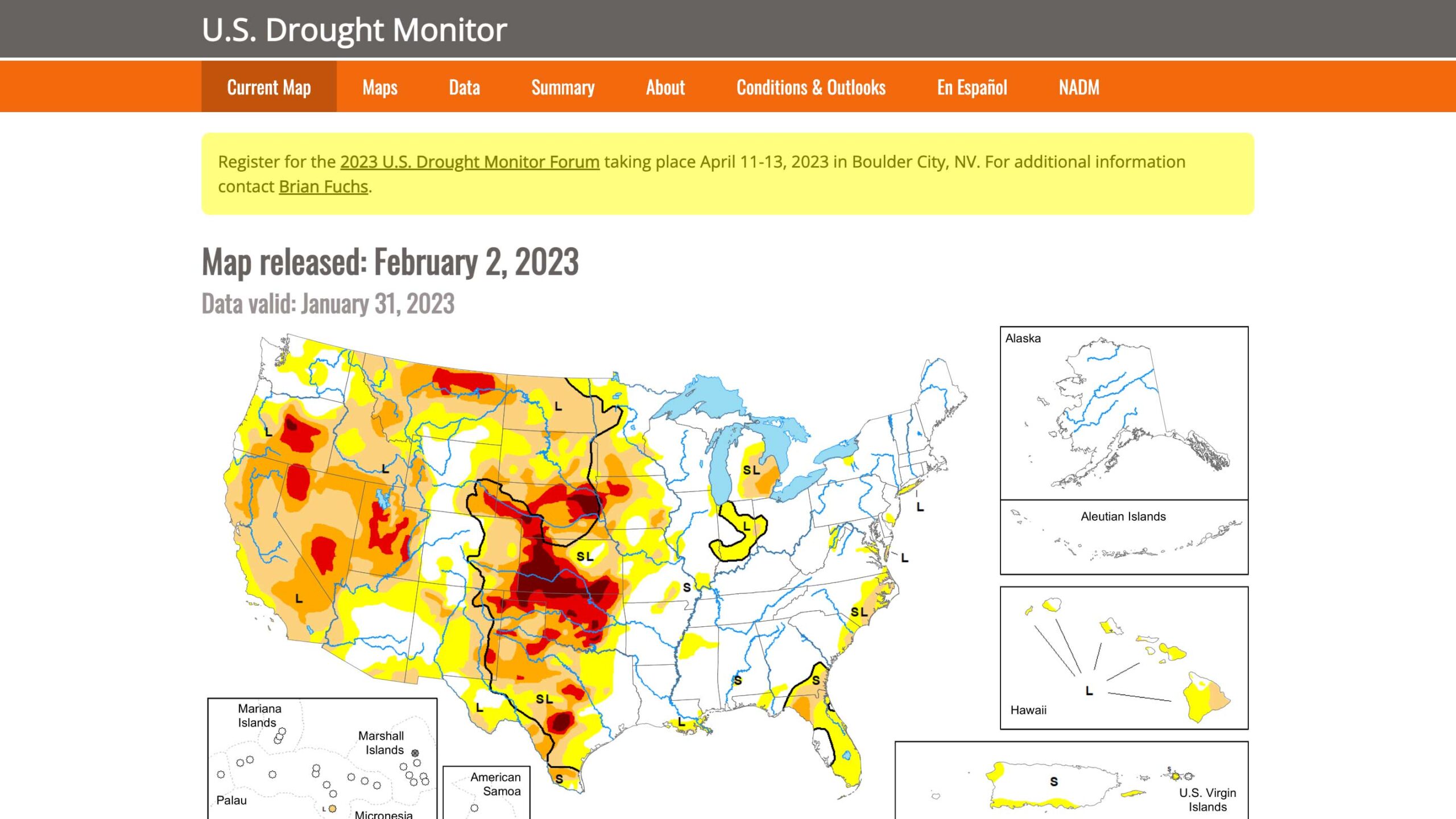
The U.S. Drought Monitor is a map released every Thursday, showing parts of the U.S. that are in drought. The map uses five classifications: