Anadia 2.0
Project
A Training And Research Project
Climate Change Adaptation, Disaster Prevention and Agricultural Development for Food Security.

ANADIA 2.0 involves rather than project partners other local Institutions (DH, DSA, CC/SAP, CNEDD) and International Organizations (CILSS/AGRHYMET, ABN). This partnership, since the first phase, allowed developing a thorough understanding of problems that threaten the food security of local populations and challenges for the development of a sustainable agriculture.
Meet ANADIA 2.0

11:06

5:18

7:33

13:28
About
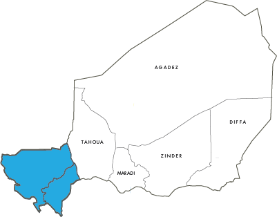
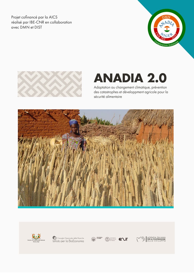
ANADIA 2.0 is the second phase of the ANADIA Niger project. ANADIA 2.0 is a training and research project co-funded by the Italian Agency for Development Cooperation. The project is implemented by the Institute of BioEconomy (IBE) – ex Institute of Biometeorology IBIMET – of the National Research Council (CNR) of Italy, in collaboration with the National Directorate of Meteorology (DMN) of Niger and the Inter-university Department of Science, Project and Policies territory (DIST) of the Polytechnic and the University of Turin, Italy.
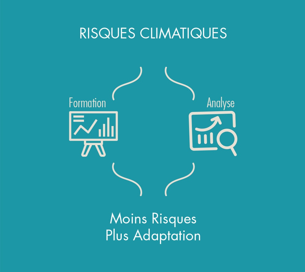
The project contributes to the development of sustainable agriculture, through the adaptation of production systems to climate change, to make them less vulnerable to extreme events, supporting food security. In order to achieve these objectives, the project will strengthen the capacities of different actors at the national and local level. The project provides methodologies, implementation of theoretical and practical training modules and practical case studies, awareness raising, dissemination and information actions on project results.
The Context
The Methodology
The approach of ANADIA 2.0 is to stimulate and facilitate the collaboration between the institutions involved at different administrative levels, and to identify or adapt analytical methodologies to specific contexts.

The Anadia 2.0
Brochure
Discover the project
Facilitating the adoption of Anadia 2.0 approach and tools by a wide number of institutions and instructors so as to fulfil their regional and national or institutional educational standards.
Training Activities
Capacity Building
ANADIA Niger is implemented through a program of capacity building adapted to different levels – from national to local – and through a continuous experiences exchange, which allows the training of trainers gradually extending the number of beneficiaries.
Training goal: to stimulate collaboration between the different institutions involved, to identify and adapt appropriate methodologies to the specific context.
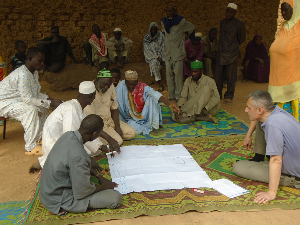
Trainers role: to provide examples of methodology and to stimulate discussion and the active participation of stakeholders to integrate new approaches in their own field.
Participants role: to define the contents of the training and build the application process.
Case studies
Training needs
- Theoretical/practical training for regional technical services on climate risk analysis in agriculture with priority focus on floods and drought.
- Specialized training in Italy (at RTC IBIMET) for the ANADIA 2 team on Databases, Climate services for disaster risk reduction and in the subregion on seasonal forecasts (PRESAO)
- On the job training in the pilot municipalities of the target regions for the application of the ANADIA approach at the local level: training on local flood risk analysis and practical application with populations.
- Training of farmers and extension agents in the use of raingauges
- Training on hydrological observations.
- Training of journalists of rural radios in the transmission of agrometeorological advises.
Climate Risk Reduction
and Local Planning
- Agrometeorological assistance to rural areas producers against the risk of drought. The aim of this activity is to reinforce agrometeorological assistance for rural producers in the target regions through the introducing of new communication and collaboration amongst producers, technical services (local and central) and rural stations.
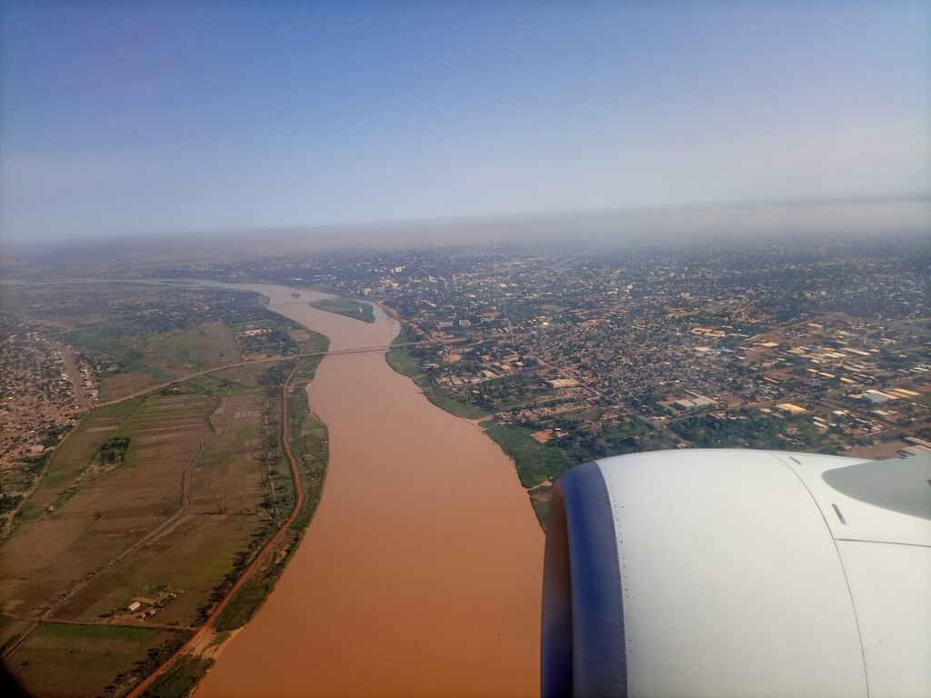
- Local Early Warning System for Floods of the Sirba (SLAPIS). The aim of this activity is to promote decision-making and behavioural changes at community level through the establishment of a community based early warning system that incorporates remote sensing, local observations of floods and local contingency plans.
In The press
Samira Sabou, “Plus de deux millions euros pour renforcer la résilience des populations et des systèmes de production”, The Sahel, 28 September 2017.
[click the button to read the article]
SLAPIS
Assistance Agrométéo
Posters
Reports
- RAPPORT N. 1 ANNÉE 2017
STRUCTURATION DE LA BASE DE DONNEES DES INONDATIONS 2.0
Download PDF [2 MB]
- RAPPORT N. 2 ANNÉE 2017
Système Local d’Alerte Précoce pour les Inondations de la Sirba (SLAPIS)
Download PDF [9 MB]
- RAPPORT N. 3 ANNÉE 2018
Caractérisation de la Région de Dosso
Download PDF [2 MB]
- RAPPORT N. 4 ANNÉE 2018
Caractérisation des systèmes de production Agricole dans la Region de Dosso
Download PDF [3 MB]
- RAPPORT N. 5 ANNÉE 2018
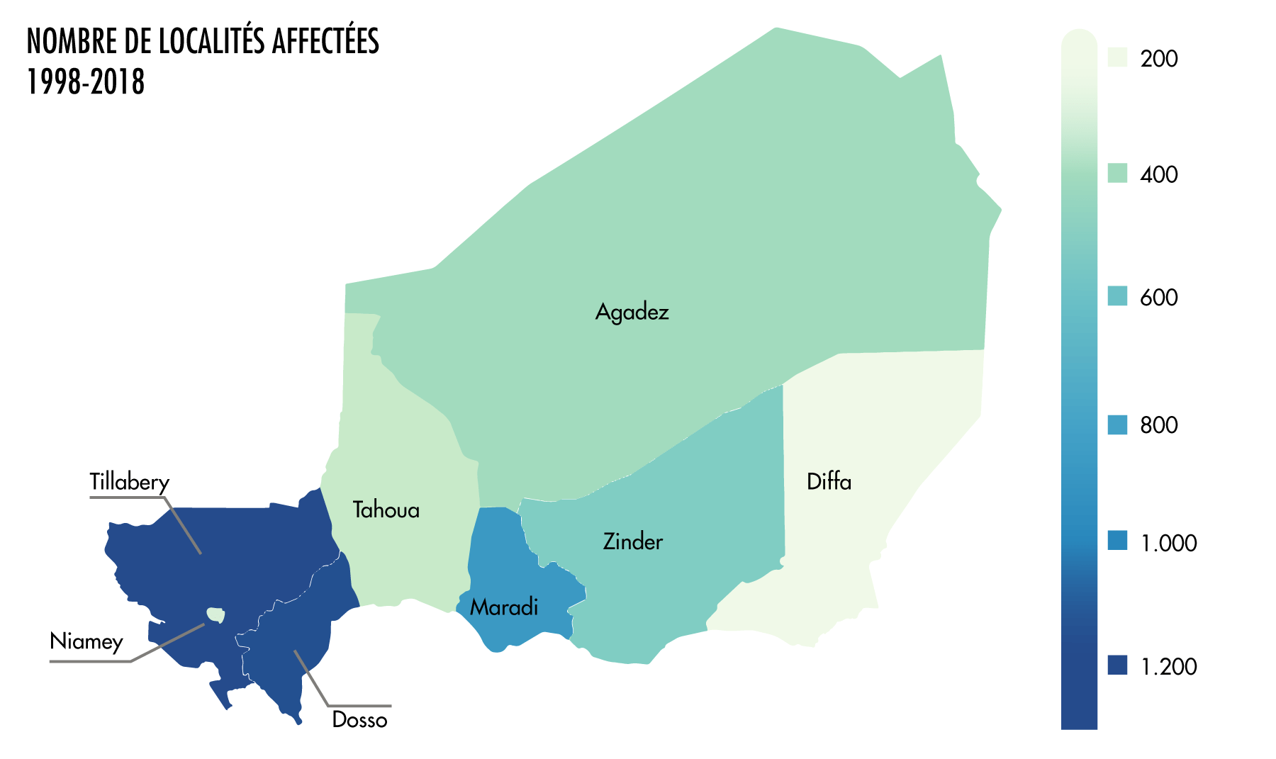
Analyse du risque d’inondation dans les communes de la Région de Dosso au Niger, 1998-2016
Download PDF [3 MB]
- RAPPORT N. 6 ANNÉE 2018
Evaluation du Risque de Sécheresse dans la Région de Dosso.
Download PDF [1 MB]
- RAPPORT N. 7 ANNÉE 2018
Évaluation du risque multi-aléa dans les communes de la Région de Dosso au Niger, 2011-16
Download PDF [3 MB]
- RAPPORT N. 8 ANNÉE 2018
Plan du Mécanisme d’information et communication SLAPIS.
Download PDF [6 MB]
- RAPPORT N. 9 ANNÉE 2019
Le Système Local d’Alerte Précoce pour les Inondation de la Sirba (SLAPIS) version 1.0
Download PDF [3 MB]
- RAPPORT N. 10 ANNÉE 2020
– Atlas cartographique des zones inondables de la Rivière Sirba
Download PDF [41 MB] - RAPPORT N. 11 SLAPIS ANNÉE 2020 –
Evaluation année hydrologique 2019 et améliorations 2020
Download PDF [5 MB] - RAPPORT N. 12 ANNÉE 2020 –
Assistance agrométéorologique aux producteurs ruraux – Rapport saison agropastorale 2019
Download PDF [3 MB] - RAPPORT N. 13 ANNÉE 2020 –
Réduction des risques hydrométéorologiques et développement
durable: l’expérience de ANADIA à Ourogueladjo
Download PDF [3.5 MB] - RAPPORT N. 14 ANNÉE 2020 –
Manuel avancé d’utilisation de la base de données sur les inondations BDINA
Download PDF [4.0 MB]
- RAPPORT N. 15 ANNÉE 2021
PRRVOI – Plan de Reduction du Risque et de Valorisation des Opportunités des Inondations
Commune Rurale de Falmey |
Download PDF [2 MB] - RAPPORT N. 16 ANNÉE 2021 –
PRRI – Plan de Réduction du Risque d’Inondation de Gagila et de Takouidawa villages administratifs de la Commune rurale de Kiéché, Région de Dosso |
Download PDF [3 MB] - RAPPORT N. 17 ANNÉE 2021 –
PRRI – Plan de Réduction du Risque d’Inondation Guéchémé chef-lieu communal Région de Dosso |
Download PDF [3 MB] - RAPPORT N. 18 ANNÉE 2021 –
PRRI – Plan de Réduction du Risque d’Inondation Sabon Birni village administratif Commune de Tounouga, Région de Dosso |
Download PDF [3 MB] - RAPPORT N. 19 ANNÉE 2021 –
PRRI – Plan de Réduction du Risque d’Inondation Tessa chef-lieu communal Région de Dosso |
Download PDF [3 MB] - RAPPORT N. 20 ANNÉE 2021 –
PRRI – Plan de Réduction du Risque d’Inondation de Garbey Kourou, Village administratif de la Commune de Gothèye, Région Tillabéri, Niger |
Download PDF [3 MB] - RAPPORT N. 21 ANNÉE 2021 –
PRRI – Plan de Réduction du Risque d’Inondation de Larba Birno, Village administratif de la Commune de Gothèye, Région Tillabéri, Niger |
Download PDF [4 MB] - RAPPORT N. 22 ANNÉE 2021 –
PRRI – Plan de Réduction du Risque d’Inondation de Tallé, Village administratif de la Commune de Gothèye, Région Tillabéri, Niger |
Download PDF [3 MB] - RAPPORT N. 23 ANNÉE 2021 –
PRRI – Plan de Réduction du Risque d’Inondation de Touré, Village administratif de la Commune de Gothèye, Région Tillabéri, Niger |
Download PDF [4 MB] - RAPPORT N. 24 ANNÉE 2021 –
Rapport activités agrométéorologiques Campagne agricole 2020 |
Download PDF [4 MB] - RAPPORT N. 25 ANNÉE 2021 –
SLAPIS : Evaluation année hydrologique 2020 et améliorations 2021 |
Download PDF [3 MB] - RAPPORT N. 26 ANNÉE 2021 –
SLAPIS : Manuel d’utilisation et maintenance |
Download PDF [2 MB] - RAPPORT N. 27 ANNÉE 2021 –
Les Inondations au Niger 1998-2020
Download PDF [1 MB]


